
Ready-to-use data
Delivery in Excel, CSV or directly into ArcGIS and other geospatial tools.
From wooden benches and roadside markers to traffic signal systems, Velotech efficiently maps presence, location and visual condition—even for asset types outside standard surveys.
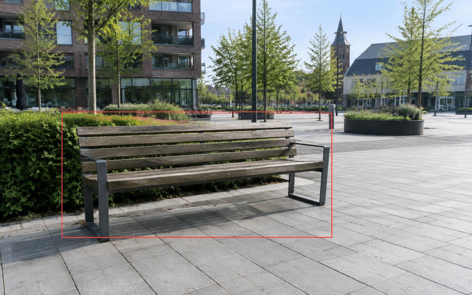
Our cameras and AI models can identify and record a wide range of assets. For each one, we collect its location, type and clear visual evidence.
Each survey is tailored to the information needs of a municipality, province or contractor, creating a reliable basis for management, maintenance and replacement.
Wooden benches
Litter bins
Bicycle stands
Roadside markers
Traffic signals
Bollards
Exact location
Visual condition
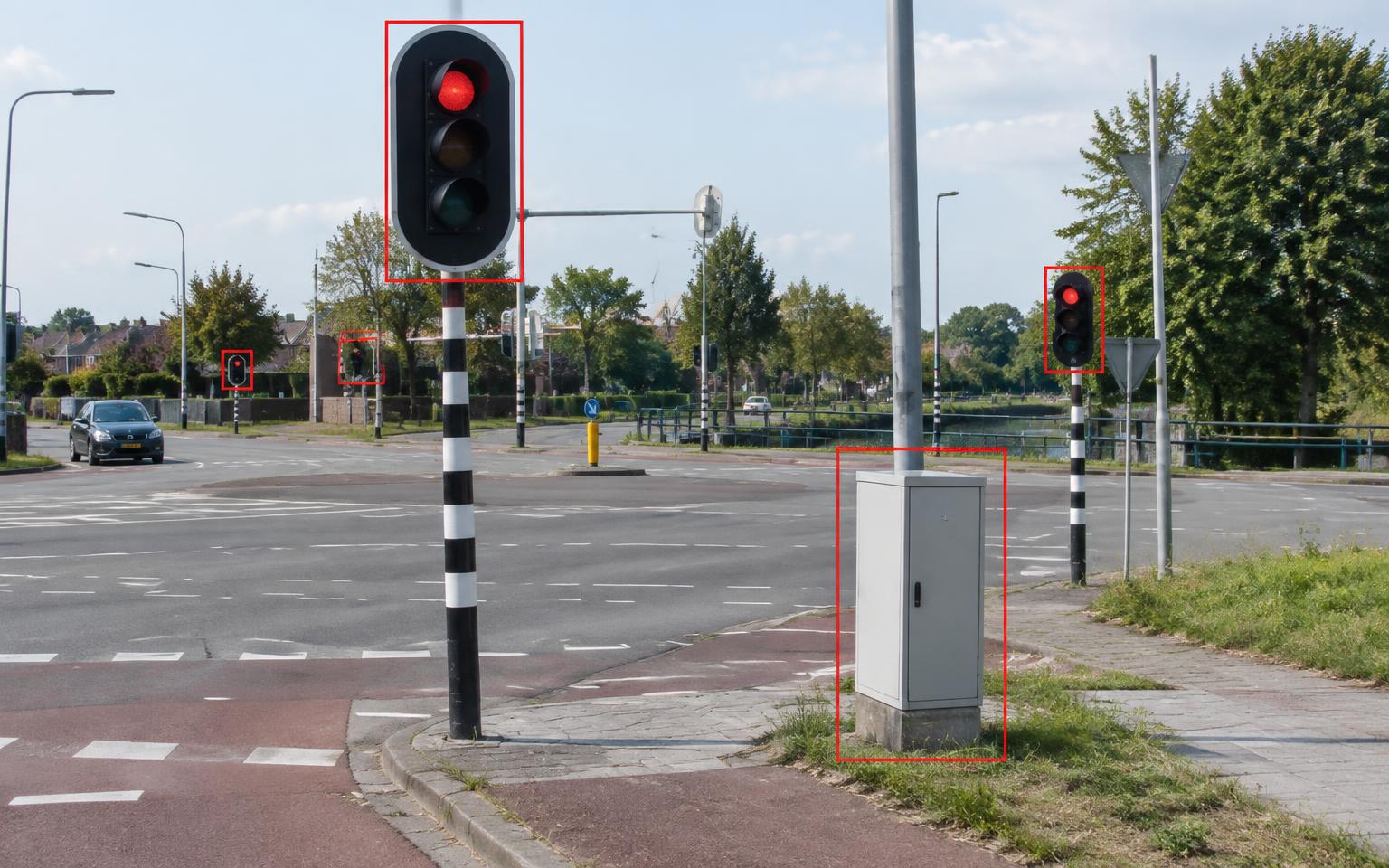
Traffic lights, poles and control cabinets are detected automatically and linked to their locations. The imagery gives asset managers a verifiable basis for inventory checks and visual inspection.
Custom surveys for specific asset types or defined areas are also available.
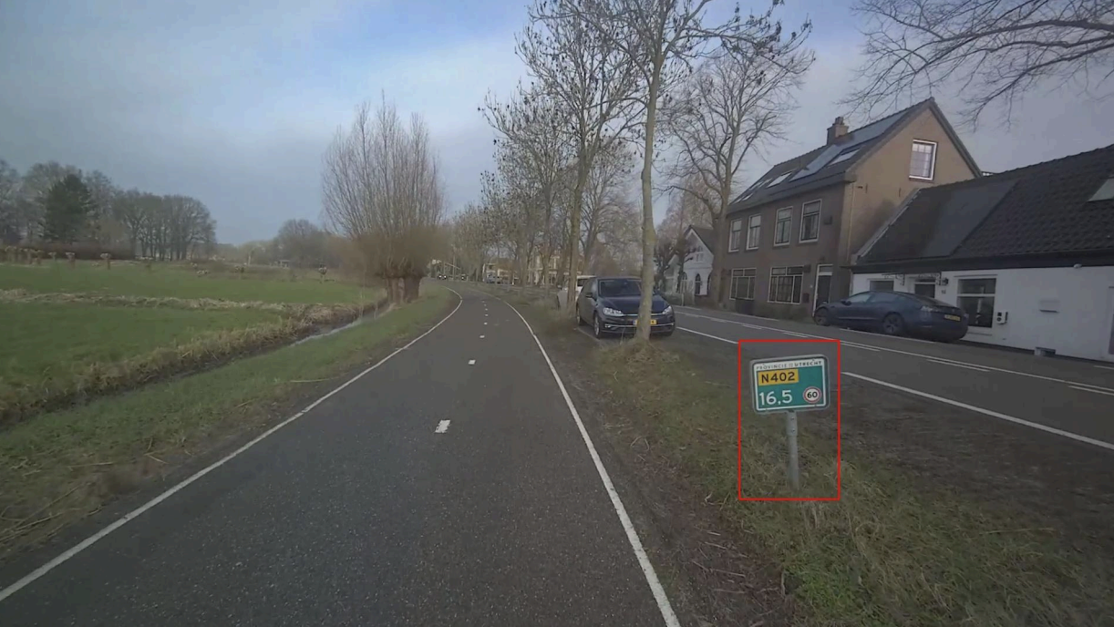
Roadside markers and other assets along provincial roads are identified from street imagery and geolocated. The results integrate with the preferred asset management process.
Delivery in Excel, CSV or directly into ArcGIS and other geospatial tools.
Every asset is linked to an exact location, asset type and current status.
High-resolution imagery supports inspection, prioritisation and fieldwork.

“Repeated lighting inspections across tunnels and cycle paths help keep Rotterdam safe.”

“With current data from Velotech, we stay ahead of public reports and maintain control of our assets.”

“Velotech provides a complete and reliable overview with integrated visual evidence for every asset.”





Book a demo to discuss the asset types, attributes and delivery format that fit your management needs.